What a wonderful thing Google is. I thought this was a really funny picture.

My friend the Evil German Dude (EGD) came over on Sunday and wanted to scout some new places to ride his evil ATVs.

He owns one of these, a Suzuki King Quad 700.
And in true German fashion he has already modified it to meet his own evil standards.
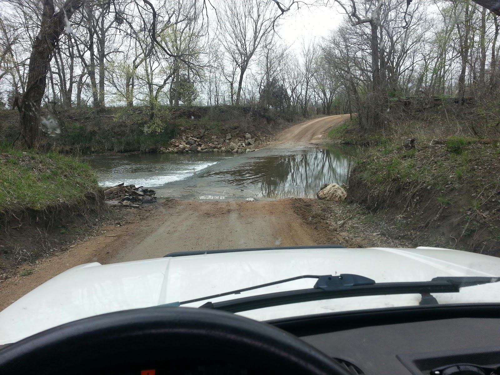
Back to the plan, which was once again, for us to take MY LAND ROVER down to the river. And by river I mean the South Canadian river south of Norman, Oklahoma. We didn’t take HIS JEEP CJ7, we took MY LAND ROVER Discovery.
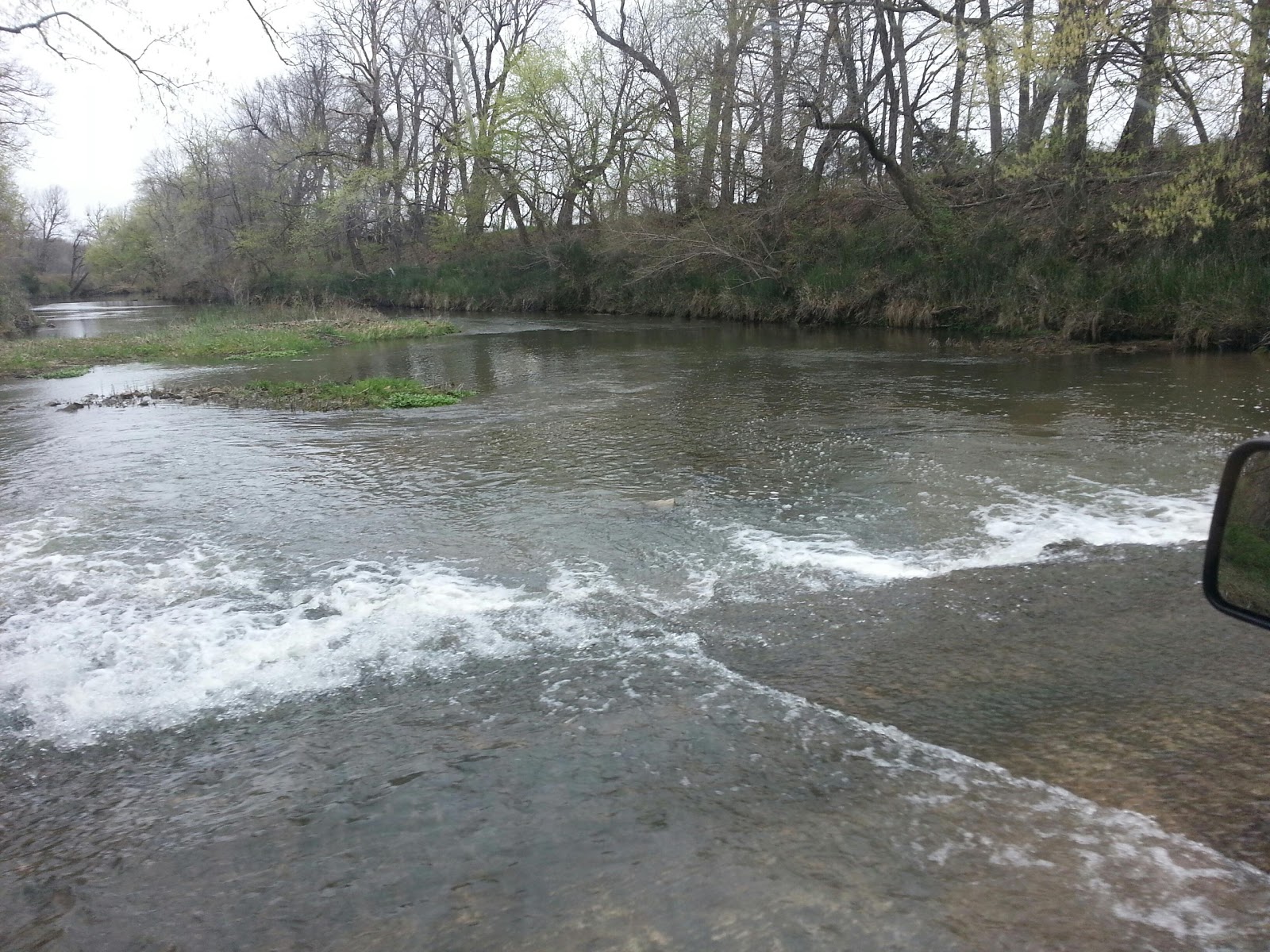
This is an excellent example of the river from the Central Oklahoma ATV Club.

It should not be misconstrued that you can ski on the river. The water this guy is skiing in is less than a foot deep.
This is a much better example of the river.

So you can get the picture that it is mostly sand bars and very little water. This type of ATV riding is very popular in Oklahoma City area.
So EGD wanting new places to ride should be expected. The North Fork of the Canadian river, AKA North Canadian river is just a mile from his home. And as you all know it gets old just riding the same old spots. So he wanted to scout some new ones.
He was all prepared with Google satellite pictures.
View Larger Map
Our first tack was to head south on 24th Avenue SW. We came to the end of the pavement and met a very imposing pipe gate. No go. So we went to exit and met a very muddy pickup coming down the road. They went straight into the church parking lot next to the closed road. We turned around an found they had disappeared into the back of the lot. We followed their grass tracks. The pipe fence was down and heavily trodden on some 100 feet off the parking lot. I wasn’t comfortable going back there but we figured what the hell.
We found a rutted path we traversed easily. We finally caught up to the pickup who was traversing a dangerous bit underneath the highway bridge. I didn’t want to test my mostly malfunctioning ABS/Traction Control that hard so I turned us back. We were looking for a way to get a trailer down to the river so that path was not going to work for us anyway.
We were off to the south side of the river to see what approaches were available. We saw the well traveled road that crossed under the I-35 bridge but the signs were serious about NO TRESPASSING. So we wandered down some of the other roads and found little to nothing.
At this point I said there was another path on the North side near the “trailer park”. We crossed again over the bridge and found ourselves entering “State Property”.
View Larger Map
Right at the trail head we stopped to talk to a couple of locals in a Jeep CJ to ask about access. It is bad form to motor by the locals in your Land Rover without stopping to be friendly with the locals. You never know when you might be asking them for assistance after a bad bit of driving on the trail.
The younger one was burning a cancer stick and was f@#%ing excited to see a f@#%ing map from the Google. He asked if it was in f@#%ing color. We showed him the f@#%ing map and asked about access to the river. He said we could f@#%ing go up the end of the fence and when we got closer to the f@#%ing river we would see the f@#%ing culvert and the trail right f@#%ing there. No f@#%ing problem man.
The older fellow was telling us through badly needed dental work, loudly over his friend, that the trail was along the fence. Right down there, etc… The younger guy was very impressed with the f@#%ing map and asked if he could f@#%ing have it. EGD responded with, “he didn’t f@#%ing care, sure.” “Winning of the hearts and minds,” I thought as we headed on down the trail with the fresh stench of cigarettes in the cab.
We got down to the concrete tank trap/gate. It was probably a gate at one time. The recent rains had made it a very narrow track with a ditch 18 inches to 2 feet deep on one side right through the former road. We skirted that with no trouble, just missing the concrete on the left side. We took the trail on in and toward the river bridge. We saw the path of the pickup truck and then took the only path left to us. It was very narrow and edged on both sides with the tall river grasses. I honked the horn a couple of times to notify any potential on coming riders of our approach.
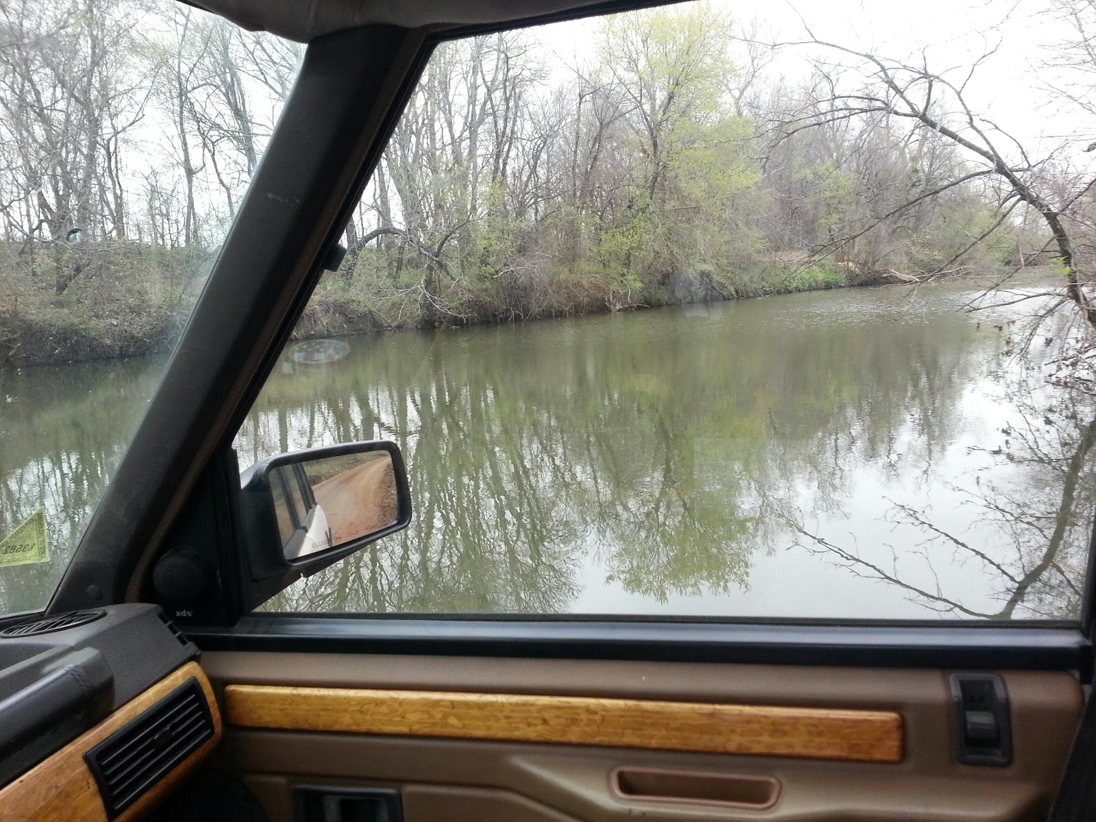
We got to the river where another ATV’er was packing up. We talked to him a bit about trails and riding down there. He was helpful. We smelled a fuel leak on one of his rigs and looked in vain for it’s source. “he’d get to it later”, he informed us. So we headed out the same way we came in and stopped a serious looking Jeep Cherokee with snorkle and roof rack and warned him of the fellow coming out with the trailer.
All in it was a nice afternoon putzing about with my friends. We only rubbed the trailer hitch once on a steep incline. We got muddy sand on the tires and all in all the Discovery did not disappoint.
Thanks for reading and Happy Rovering.