I got together with some fellow Oklahoma Land Rovers Owner members and went on a tour of the Oklahoma Adventure Trail. If you haven’t looked this up on the internet yet, you should. It will be the source of several trips for the Big White Bus in the coming year.
Oklahoma Adventure Trail Facebook.
Oklahoma Adventure Trail Website.
Nathan brought his “new” Range Rover. I was in my Range Rover Classic. John and Jayden were in their Discovery. And Erik and David were in the Defender.
John planned our trip and did a great job of mapping out some fun places to see and giving us a great tour of the back roads of Logan, Lincoln, Creek, Payne, and Osage counties. You will find the links to the map used to guide us. There were deviations from these maps but once you are out there you’ll realize why. Fair warning this is a picture heavy post.

We drove along the Cimarron River for a good stretch.


This is where we learned Erik lost his gas cap on his Defender. He made a “field expedient” cap out of some duct tape.
We detoured as suggest up to the town of Ingalls, Oklahoma. The town was the scene of what is called the “Battle of Ingalls”. The fight was between U.S. Marshalls and the Doolin-Dalton gang. You can read more about it on Wikipedia or on Legends of America. We stopped and took pictures of some seemingly old buildings, one of which seemed original to the time. We went down the street and to the site of the fight. None of the original buildings exist today.


We headed down the road and eventually turned North toward Osage County. The Oklahoma Adventure Trail lists the roads and the detours. Those detours were often buried in posts and therefore sometimes we didn’t know of a bridge out. Of course when you are driving a Land Rover a detour is not always a detour. In this case it was, the bridge was out over a very deep creek.


There were no shortage of bridges to cross. This one was a Works Project Administration job from 1940. They provide a nice break water that had a waterfall.

We stopped in Cleveland for lunch and fuel. We pulled into town on Hwy 64 and stopped at the Dollar General next to the McDonald’s. There was no way I was eating McDonald’s unless there was nothing else. Thankfully we saw Rosie’s Tacos when we crossed the lake south of town on Hwy 64. Yes, that’s a car port. Yes, that’s a trailer parked under it. Trust us. Erik made the first suggestion that he was going to take the gastronomic adventure and get some chow there.
That was all the suggestion I needed. I didn’t have tacos. I had tamales. Delicious. Their verde’ sauce was just the right amount of hot with flavor. I’d drive back there again just to eat the tamales.

My odometer rounded out to 237,000 as we pulled up for petrol.

So with both our tanks and our bellies full of goodness we headed for the Osage Tallgrass.
We got to Barnsdall, Oklahoma where we encountered the only oil well in the world located on a city street. You can see it if you navigate here. 36°33′41.93″N96°9′56.57″W

We knocked around a few more locations. Coming out of the Hulah Wildlife Refuge, at least I think it was the Hulah WR, John and his Discovery started having death wobble. We limped along until we got back to the highway going into Bartlesville.
Once stopped, we tried to sort out the issue. At one point John explained how we could deviate our path and call it a night.
John, “We can stay on the black top roads.”
David, the single gentleman of color in our group, interjected, “Why do they have to be ‘black’?”
I couldn’t help myself and had to add, “Because black top roads matter.”
Everyone laughed. It was the levity the trip needed after a long day on the dusty back roads and an unfortunate break down.

We tried swapping John’s spare when I noticed that one of the balancing weights was missing from the last stop. Getting the tires balanced is the first thing done to solve an issue with death wobble. Unfortunately that didn’t work.
With the daylight quickly waning, we decided to get the Disco into town. John knew of a grocery store at the bottom of the last hill going into Bartlesville. Once he hit the hill he put the Disco in neutral and coasted her down. We did some additional investigating which did not result in a solution to the problem.

We decided to head for the camp site as it began to get dark. When John was planning the trip he remembered a Boy Scout camp and lined us up with one of the cabins. Camp McClintock BSA.

Once we got the fireplace glowing it took the edge off the night and made for a very tolerable sleeping experience. David was the man when it came to getting the fire going, well done sir. Each person was responsible for their dinner and those who were cooking got started and we had a great discussion.
We spent the evening discussing cars we’ve owned, some sea stories from serving the Marine Corps, and even politics. That may have been the most civil political discussion I’ve ever been a part of. I pretty sure both ends of the political spectrum were represented. One theme emerged, no one was happy with how the country is being governed by the legislative and executive branches.
The next morning we cleaned up the cabin and went for a short hike to the suspended cable bridge. Very interesting.


We went across the creek to a pond on the other side. It was partially frozen. It didn’t take us long to start skipping rocks and sticks across. The ice and the debris we tossed across it made one of the coolest sounds you’ll ever hear in nature. You can read about it here and see a video about why you get that sound.
We hiked back to the cabin where we decided to part company. Erik and Nathan would take off for OKC and I would take John back to his Disco and get it up on the trailer his dad had left that morning to assist in recovery. After we got her up on the trailer we decided to take in a bit more of the OAT on our way home. we weren’t to adventurous being as we were alone and had no hope of a timely recovery if we got stuck.


We took a detour off the OAT to see “Frog Rock”. It over looks a nice valley and was in a very remote location. When I climbed up behind the rock to take a picture of the valley I accidentally found a Geocache. We left a note that we were there for the next person to find. We didn’t take anything and we didn’t leave anything either.


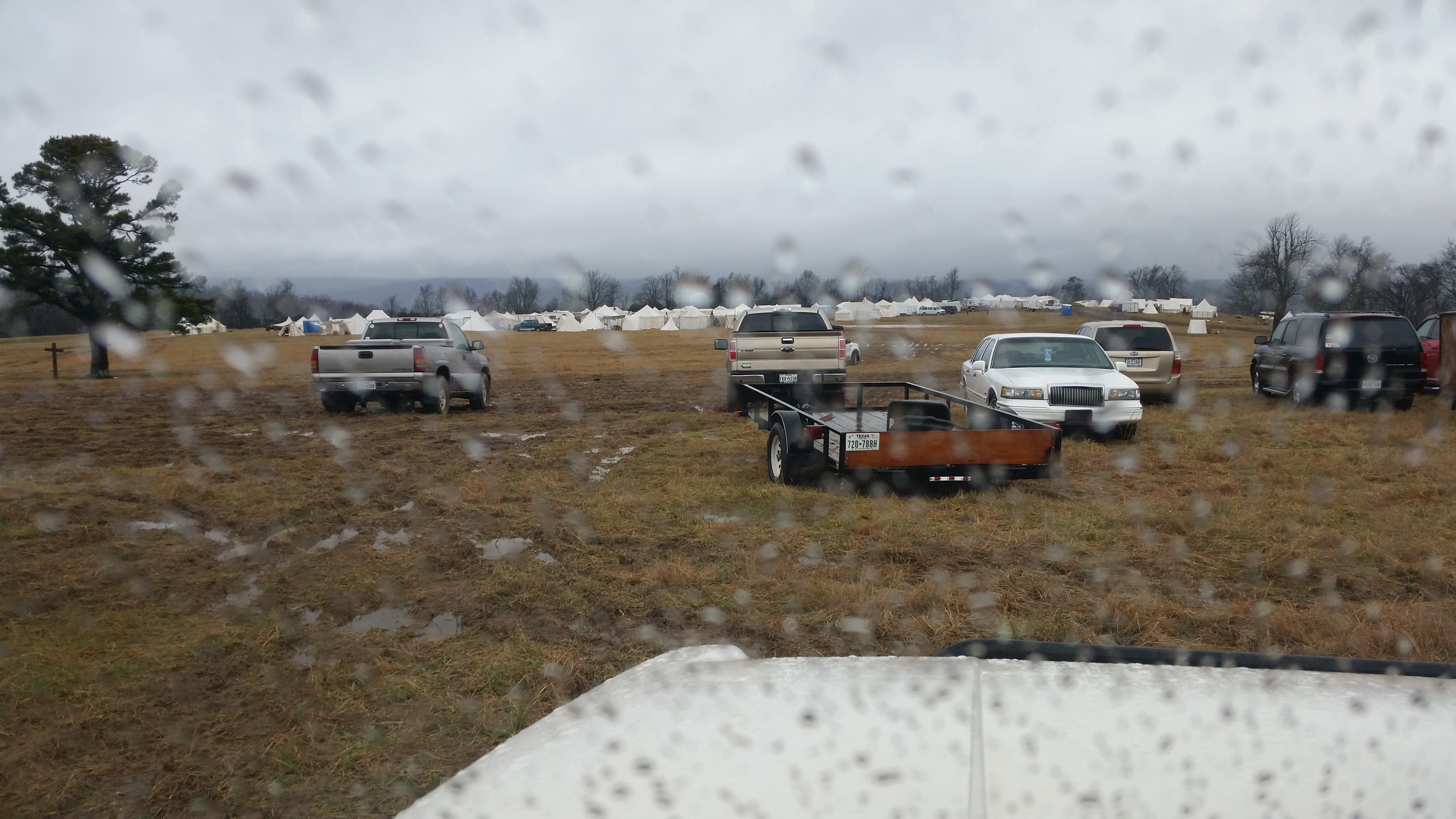
I’ll leave you with a gallery of the better shots. Click for full size.


If you are interested in driving where we drove John provided the following maps. We must say we didn’t follow them “exactly”. We took the roads that interested us the most and if there was water crossing we took it.
Once again and as always, thanks for reading and Happy Rovering.